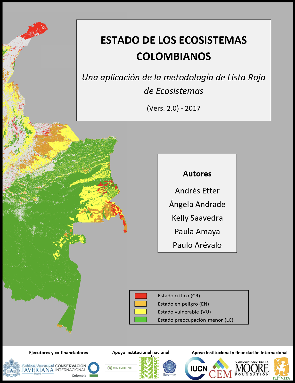
RLE Report Generation
Tools for building IUCN Red List of Ecosystem (RLE) assessment reports
Tyler Erickson
Goals
Improve the process for creating ecosystem assessment reports
- Reduce the effort needed to create and update reports
- Simplify document styling
- Facilitate replication
- Increase transparency
Data Flow Overview

GitHub Repository
Content, code, and the execution environment details are all stored in a code repository on GitHub to facilitate:
- tracking of changes
- collaboration
- reproducibility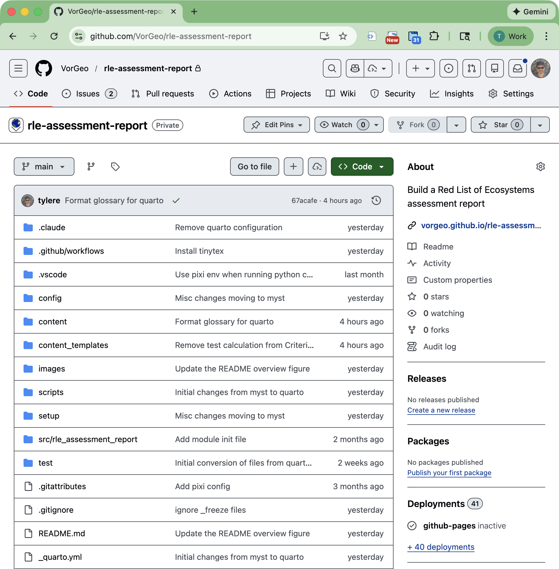
User Supplied Data & Configuration
The report authors will need to provide information about the country and where the ecosystems are.
Country-Level Configuration
Example:
config/country_config.yaml
country_name: Myanmar
# ISO 3166-1 alpha-2 code for the country
# See https://en.wikipedia.org/wiki/ISO_3166-1_alpha-2
country_code: MM
gee_project_path: "projects/goog-rle-assessments/assets"
classified_image:
  asset_id: mm_ecosys_v7b
  classes:
    - id: 52
      name: Tanintharyi island rainforest
      code: MMR-T1.1.1
    - id: 54
      name: Tanintharyi Sundaic lowland evergreen rainforest
      code: MMR-T1.1.2
    - id: 53
      name: Tanintharyi limestone tropical evergreen forest
      code: MMR-T1.1.3
    # - id: 55
    #   name: Tanintharyi upland evergreen rainforest
    #   code: MMR-T1.1.4
    # - id: 49
    #   name: Kayin evergreen tropical rainforest
    #   code: MMR-T1.1.5
    # - id: 51
    #   name: Southern Rakhine evergreen rainforest
    #   code: MMR-T1.1.6
    # - id: 50
    #   name: Western Shan Plateau subtropical evergreen rainforest
    #   code: MMR-T1.1.7
    # - id: 66
    #   name: Kachin-Sagaing low elevation evergreen subtropical rainforest
    #   code: MMR-T1.1.8
    # - id: 48
    #   name: Kachin-Sagaing mid elevation subtropical rainforest
    #   code: MMR-T1.1.9
    # - id: 57
    #   name: Kachin Hills subtropical rainforest
    #   code: MMR-T1.1.10
    # - id: 38
    #   name: Tanintharyi semi-evergreen forest
    #   code: MMR-T1.2.1
    # - id: 58
    #   name: Rocky Taninthayri karst
    #   code: MMR-T1.2.2
    # - id: 56
    #   name: Mixed cane break
    #   code: MMR-T1.2.3
    # - id: 37
    #   name: Bago semi-evergreen forest
    #   code: MMR-T1.2.4
    # - id: 45
    #   name: Dry zone foothills spiny scrub
    #   code: MMR-T1.2.5
    # - id: 44
    #   name: Rakhine Elephant Range bamboo brake
    #   code: MMR-T1.2.6
    # - id: 39
    #   name: Elephant range semi-evergreen dry forest
    #   code: MMR-T1.2.7
    # - id: 40
    #   name: Magway dry cycad forest
    #   code: MMR-T1.2.8
    # - id: 41
    #   name: Magway semi-evergreen dry gully forest
    #   code: MMR-T1.2.9
    # - id: 36
    #   name: East Myanmar dry valley forest
    #   code: MMR-T1.2.10
    # - id: 47
    #   name: Eastern Shan semi-evergreen forest
    #   code: MMR-T1.2.11
    # - id: 43
    #   name: Western Shan semi-evergreen forest
    #   code: MMR-T1.2.12
    # - id: 42
    #   name: Indaing forest
    #   code: MMR-T1.2.13
    # - id: 65
    #   name: Northern semi-evergreen forest
    #   code: MMR-T1.2.14
    # - id: 61
    #   name: Tanintharyi cloud forest
    #   code: MMR-T1.3.1
    # - id: 2
    #   name: Kachin mountain conifer forest
    #   code: MMR-T2.1.1
    # - id: 33
    #   name: Kachin montane temperate broadleaf forest
    #   code: MMR-T2.4.6
    # - id: 64
    #   name: Shan warm temperate rainforest
    #   code: MMR-T2.4.1
    # - id: 62
    #   name: Chin Hills warm temperate rainforest
    #   code: MMR-T2.4.2
    # - id: 59
    #   name: Sagaing warm temperate rainforest
    #   code: MMR-T2.4.3
    # - id: 63
    #   name: Kachin warm temperate rainforest
    #   code: MMR-T2.4.4
    # - id: 7
    #   name: Mountain bamboo brake
    #   code: MMR-T2.4.5
    # - id: 35
    #   name: Rakhine coastal savanna
    #   code: MMR-T4.2.1
    # - id: 17
    #   name: Central Ayeyarwady Than-Dahat grassy forest
    #   code: MMR-T4.2.2
    # - id: 20
    #   name: Central Ayerawady Palm savanna
    #   code: MMR-T4.2.3
    # - id: 19
    #   name: Shwe Settaw Sha-Bamboo thicket
    #   code: MMR-T4.2.4
    # - id: 18
    #   name: Magway Than-Dahat dry grassy forest
    #   code: MMR-T4.2.5
    # - id: 25
    #   name: Sha thorny scrub
    #   code: MMR-T4.2.6
    # - id: 16
    #   name: Shan foothills Than-Dahat grassy forest
    #   code: MMR-T4.2.7
    # - id: 24
    #   name: Shan hills pine savanna
    #   code: MMR-T4.2.8
    # - id: 21
    #   name: Chin hills pine savanna
    #   code: MMR-T4.2.9
    # - id: 23
    #   name: Sagaing hills pine savanna
    #   code: MMR-T4.2.10
    # - id: 22
    #   name: Kachin pine savanna
    #   code: MMR-T4.2.11
    # - id: 3
    #   name: Shan plateau grasslands
    #   code: MMR-T4.5.1
    # - id: 15
    #   name: Kachin snowfields
    #   code: MMR-T6.1.1
    # - id: 14
    #   name: Alpine cliffs and screes
    #   code: MMR-T6.2.1
    # - id: 32
    #   name: High mountain scrub
    #   code: MMR-T6.4.1
    # - id: 31
    #   name: Alpine herbfield
    #   code: MMR-T6.4.2
    # - id: 1
    #   name: Aerobic Karst caves
    #   code: MMR-S1.1.1
    # - id: 34
    #   name: Ayeyarwady kanazo swamp forest
    #   code: MMR-TF1.1.1
    # - id: 30
    #   name: Central dry evergreen riparian forest
    #   code: MMR-TF1.1.2
    # - id: 29
    #   name: Mixed delta scrub
    #   code: MMR-TF1.1.3
    # - id: 28
    #   name: Ayeyarwady floodplain wetlands
    #   code: MMR-TF1.4.1
    # - id: 27
    #   name: Central Ayeyarwady floodplain grasslands
    #   code: MMR-TF1.4.2
    # - id: 6
    #   name: Glacial lakes
    #   code: MMR-F2.4.1
    # - id: 13
    #   name: Coastal mudflats
    #   code: MMR-MT1.2.1
    # - id: 26
    #   name: Sandy shoreline
    #   code: MMR-MT1.3.1
    # - id: 4
    #   name: Tanintharyi coastal dune forest
    #   code: MMR-MT2.1.1
    # - id: 5
    #   name: Rakhine coastal dune forest
    #   code: MMR-MT2.1.2
    # - id: 11
    #   name: Tanintharyi mangrove forest
    #   code: MMR-MFT1.2.1
    # - id: 8
    #   name: Ayeyarwady delta mangrove forest
    #   code: MMR-MFT1.2.2
    # - id: 9
    #   name: Dwarf mangrove (shrubland) on shingle
    #   code: MMR-MFT1.2.3
    # - id: 10
    #   name: Rakhine mangrove forest on mud
    #   code: MMR-MFT1.2.4
    # - id: 12
    #   name: Grassy saltmarsh
    #   code: MMR-MFT1.3.1
Ecosystem Maps
- The authors need to provide a geospatial data file that describes where the ecosystems occur.1
Ecosystem-Level Configuration
Example:
config/ecosystem_config/MMR-T1.1.1.yaml
ecosystem_name: "Tanintharyi island rainforest"
country_name: "Myanmar"
authors:
- "N.J. Murray"
- "R. Tizard"
- "D.A. Keith"
ecosystem_names_local:
- name: Tropical rainforest
reference: "@kress2003checklist"
- name: Lowland evergreen rainforest
reference: "@connette2016mapping"
biome: Tropical-subtropical forests biome (T1)
functional_group: Tropical/Subtropical lowland rainforests (T1.1)
global_classification: MMR-T1.1.1
iucn_status: Vulnerable (Least Concern – Vulnerable)
ecosystem_photo: MMR-T1.1.1_photo.png
ecosystem_map: MMR-T1.1.1_map.png
ecosystem_image:
asset_id: projects/goog-rle-assessments/assets/mm_ecosys_v7b
pixel_value: 52
description: >
Tanintharyi island rainforest occurs on offshore islands across Tanintharyi,
including the Myeik archipelago. It is a lowland, primarily evergreen, forest
ecosystem that has some maritime influence. It shows a tolerance of salty
ocean seaspray and historically received much of its nutrient input from
nesting seabird populations that have subsequently collapsed. It occurs across
a wide range of island types including limestone, rubble and sand islands. The
canopy is primarily evergreen Dipterocarpaceae [@tagane2019contributions].
@stamp1925vegetation reported forests of “tall varied trees who dense canopy,
cutting off nearly all light from the ground, is made more intense by the
wealth of woody climbers which have struggled upwards to reach the light”.
distribution: >
Occurs on offshore islands in Tanintharyi state.
characteristic_native_biota: >
Largely unknown but probably moderately diverse. A recent survey of the Myiek
archipelago reported a total of 305 species belonging to 241 genera and 91
families [@tagane2019contributions]. Surveys of Lampi Island marine park
indicated 20 species of Dipterocarpaceae. The islands support several
localized species along the coastal edges including Great-billed Heron Ardea
sumatrana, Beach Thick-knee Esacus magnirostris (NT) and Black-naped Tern
Sterna sumatrana, and Collared Kingfisher Todiramphus chloris. The islands
also support a range of nomadic frugivores including Nicobar Pigeon Caloenas
nicobarica (NT), Large Green-pigeon Treron capellei (VU), Pied Imperialpigeon
Ducula bicolor, and Plain-pouched Hornbill Rhyticeros subruficollis (VU).
The islands also support a population of tool using Long-tailed Macaque Macaca
fascicularis (VU).
abiotic_environment: >
This ecosystem occurs on offshore islands exposed to the influence of maritime
salt. Largely monsoonal, with a minimum temperature of 21 degrees in December
to a maximum of 28.8 in August. Precipitation is highly seasonal, with a dry
season occurring from November to March followed by a strong wet season from
May to October (Oo et al., 2019).
key_processes_and_interactions: >
This ecosystem received much of its nutrients from nesting seabird populations
that are mostly no longer present. Dispersal is similarly mediated by mobile
fauna, and endemism due to isolation is likely to be high.
major_threats: >
Unregulated tourism development is the principal threat to this ecosystem
[@centreMyeikArchipelago].
ecosystem_collapse_definition: >
This ecosystem is regarded as collapsed when its area has declined to zero,
when the proportion of the ecosystem considered primary forest declines to 0.
assessment_summary: >
This ecosystem is broadly distributed across many isolated islands in southern
Myanmar, but there is an expected reduction in climate suitability over the
next three decades. Threats from humans and biotic degradation are expected to
be low, as confirmed by an analysis of the Forest Landscape Integrity Index.
The ecosystem qualified for listing as Vulnerable under Criterion C, with a
plausible range of Least Concern – Vulnerable. Vulnerable (Least Concern –
Vulnerable).
criteria_status:
A:
A1: DD
A2a: DD
A2b: DD
A3: DD
B:
B1: LC
B2: LC
subcriteria: NA
B3: LC
C:
C1: DD
C2a: VU(LC-VU)
C2b: DD
C3: DD
D:
D1: DD
D2a: DD
D2b: LC
D3: LC
E:
E: NE
assessment_outcome: >
Vulnerable (Least Concern – Vulnerable)
year_published: 2020
date_assessed: 20th January 2020
assessment_credits:
assessed_by: Nicholas Murray
reviewed_by: David Keith
contributions_by: Lee Grismer
criterion_a_description: >
No time-series map data was available for assessing reduction in distribution
of this ecosystem over any of the assessment time frames. **Data Deficient.**
criterion_b_description: >
There is no evidence that suggests this ecosystem should meet the criteria to
be listed as Near Threatened. The ecosystem is assessed as Least Concern under
Criterion B1 and B2. **Least Concern.**
criterion_c_description: >
An environmental suitability model [@ferrer2019ecosystem see methods] suggests
that reductions in climate suitability will occur with an extent and severity
to meet the category thresholds for Vulnerable under Criterion C2a. Variation
in the outcomes of the modelled scenarios suggested that the ecosystem could
potentially meet thresholds for Least Concern to Vulnerable, and therefore the
ecosystem is assessed as Vulnerable (the most commonly returned result from
all scenarios), with plausible bounds of Least Concern – Vulnerable.
**Vulnerable (Least Concern – Vulnerable).**
criterion_d_description: >+
Analyses of a dataset that depicts the distribution of primary forests in
South-East Asia (Potapov et al. 2019) suggest that 74.9% of the remaining
extent of this ecosystem is primary forest. If 100% of the ecosystem is
assumed to be primary forest in 1750, we estimate a 25.1% loss in primary
forest extent since 1750. Here we assume that loss of primary forest extent
has a relative severity of >90%, and the ecosystem is assessed as Least
Concern under Criterion D3. Analyses of the full time-series of primary forest
data (n = 18) suggests an 8.1% reduction of primary forest in this ecosystem
over the period 2000-2017. A linear model fit to this dataset suggests that
primary forest cover in this ecosystem will not decline sufficiently to meet
any category thresholds over a 50 year period (1984-2034). The ecosystem is
assessed as Least Concern under Criterion D2b. **Least Concern.**
<img src="MMR-T1.1.1_crit_D_chart.png" height="300"/>
(Note, the HTML image gets resized unless there is content following it.)
criterion_e_description: >
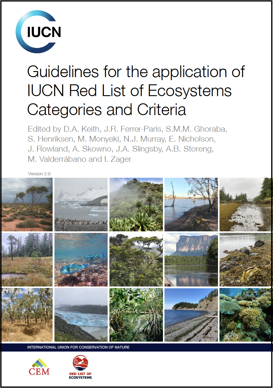
No models were used to assess Criterion E. **Not Evaluated.**IUCN Guidelines for RLE
- Assessment Criteria Definitions
- Ecosystem Metric Calculations (e.g.
AOO,EOO)
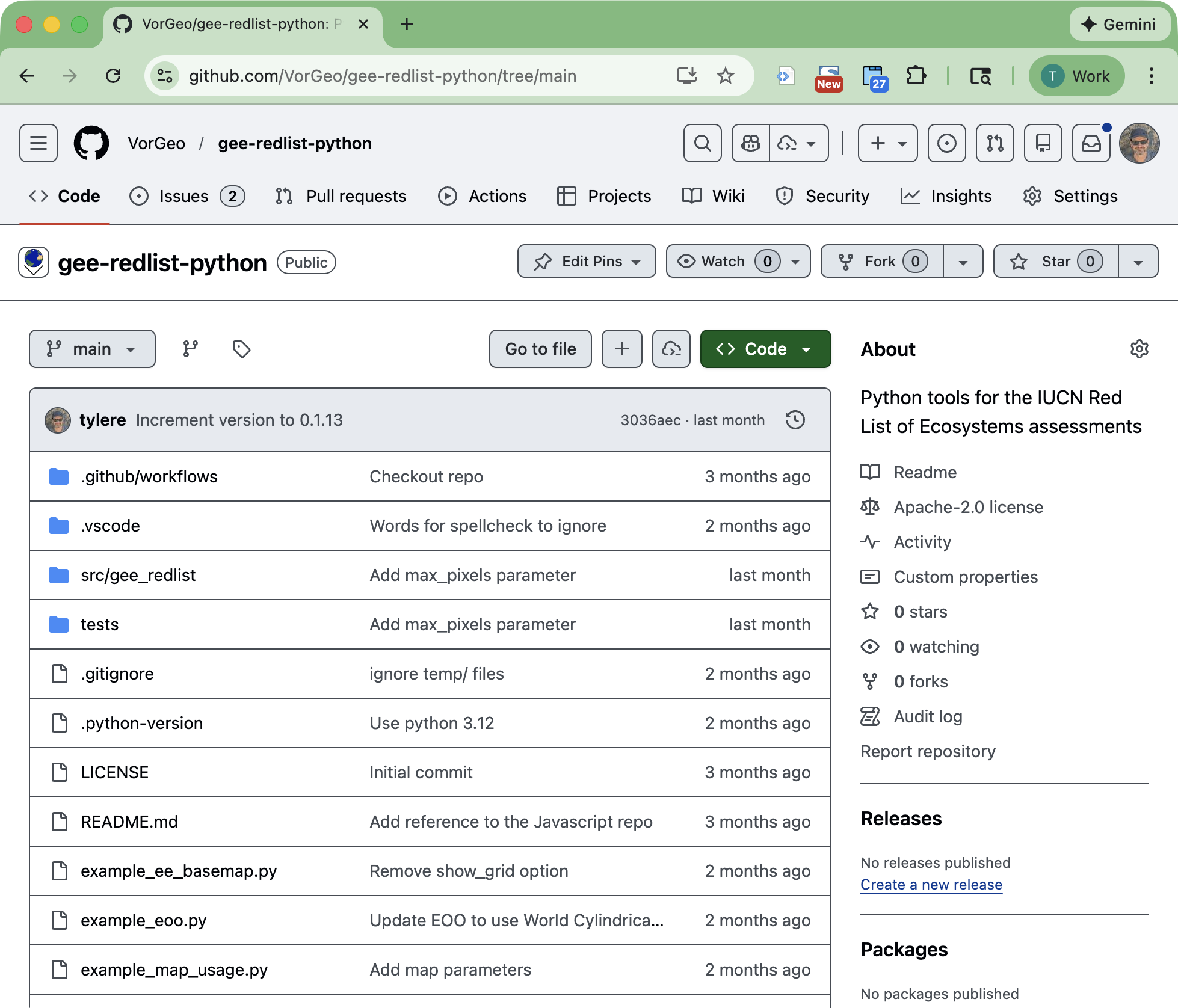
Python Package for RLE Calculations
Calculations and constants from the IUCN guidelines document and other resources are implemented in Python.
Example Website
Future Work
- Reducing the need for user supplied data, by automating calculations
- Allow for vector ecosystem data files
- Creating a template repository that countries can use as a starting point
- PDF document generation
